And finally……..
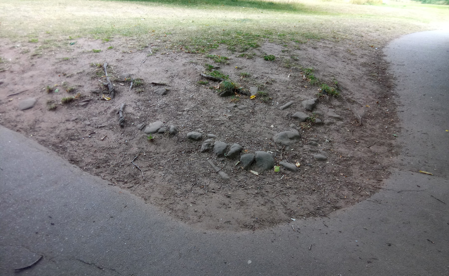
To my knowledge, these stones near the iron bridge by the swimming pool have never been investigated….
Are they original in situ archaeology, or, as has been suggested, stones moved here from the investigation of 1989?
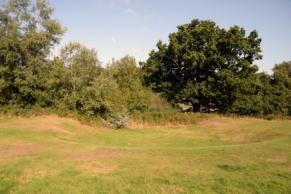
This ‘dip’ on the south bank of the brook has never apparently been investigated. It was at one time in use as part of the pitch and putt course, but photographs indicate it was there before the course was constructed. The Lidar image shows it appears to be part of an extensive group of works. So what was it originally?
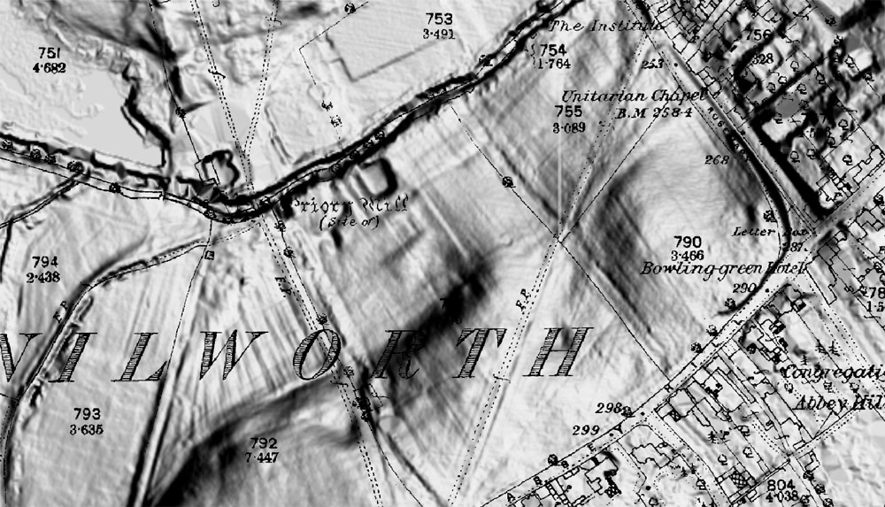
(Lidar image overlaid with an OS map, courtesy Chris Blunt)
More archaeology:
1840 Churchyard extension
1888 Churchyard extension
1922 The Abbey uncovered
1989 Severn-Trent pipe laying
1997 Geo-phys survey
2005 Barn Dig, KHAS 2005/6
2013 Redevelopment of the former bowling green into a new children’s play area
2013 (a) Conversion of the ‘temporary’ car park into a hard-surface pay and display car park
2014 Gatehouse from KH 2015
2018 Reconstruction and widening of the ‘Cow Path’
2022 (a) Swimming pool, brook end
2022(b) Children’s play area
2023 Swimming pool, former cafe area